Credit the foundation
Keep authorship, source reports, datums, versions, and processing history attached to every result.
Geology · GIS · collaborative mapping
Logic Cloud Geo connects published geoscience, transparent web services, and reproducible workflows so geologists can preserve what is known—and make the next interpretation better.
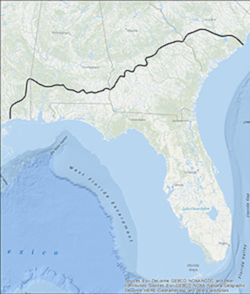 A framework larger than a border
The premise
There is no geologic “state-line fault.” Names and datasets may change at a border, but the rocks and aquifers do not.
A practical approach
Regional frameworks, local refinements, boreholes, rasters, and changing nomenclature all carry part of the story. LCG is a place to keep those relationships explicit instead of flattening them into one final map.
Keep authorship, source reports, datums, versions, and processing history attached to every result.
Let a project-specific framework refine a regional one without erasing either interpretation.
Pair services with documented APIs, notebooks, and visible assumptions that other geoscientists can examine and extend.
Working public service
LiveSubmit one WGS 84 point, an ordered batch, or a line profile. The service returns USGS 3DEP bare-earth elevations with units and source metadata suitable for maps, notebooks, and GIS workflows.
Published foundations
The Floridan Aquifer System publications demonstrate the principle behind LCG: preserve earlier work, revise it with new evidence, and publish the data needed for the next investigation.
Lester J. Williams and Eve L. Kuniansky
Open publication USGS Data Series 926Lester J. Williams and Joann F. Dixon
Open data release USGS Data Series 760Source logs supporting regional interpretation and correlation
Open log databaseAbout the founder
A professional geologist, groundwater hydrologist, and Python developer with more than 30 years of experience in regional hydrogeologic framework mapping, borehole geophysics, groundwater investigations, and applied GIS.
Logic Cloud Geo is a personal, independent effort to make scientific data easier to use and to reconnect with geologists, hydrogeologists, and developers who believe mapping improves when knowledge crosses institutional and geographic boundaries.
Collaborate